Overview
|
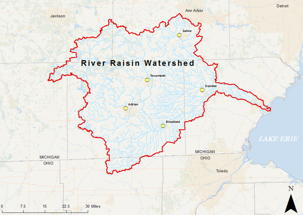
This project, funded by the U.S. Environmental Protection Agency through the Great Lakes Restoration Initiative, brings together 20 partners to help reduce phosphorus loading to the Western Lake Erie Basin.
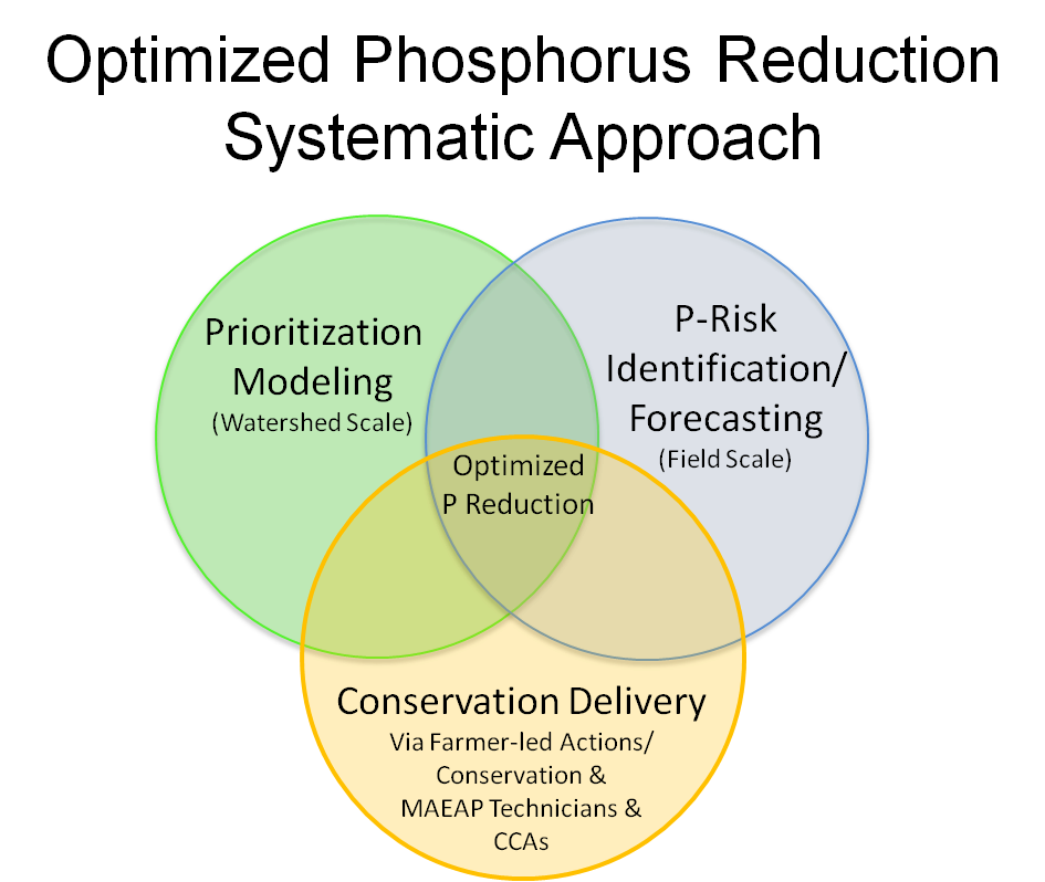
This project utilizes an optimized phosphorus reduction strategy consisting of: 1) watershed scale prioritization, 2) field-scale risk identification and application forecasting, and 3) on-the-ground conservation delivery through farmer-led actions and public-private collaboration. This strategy is critical for targeting conservation in areas of the River Raisin that contribute the highest levels of phosphorus to the Lake Erie and equipping farmers with tools to improve fertilizer application timing and incorporation methods to reduce phosphorus runoff long past the duration of this project. In addition, the project provides tools in a strategic package to help farmers prioritize their conservation efforts, identify risks on their farms, compare conservation scenarios for benefits, and plan for manure/nutrient application, and delivers them through a grassroots engagement process led by farmers. It gives both farmers and conservation professionals the means to approach management practices in new ways to improve efficiency and meet farmers’ needs. The grassroots engagement process will build upon existing capacity in the watershed and increase the likelihood of long-term conservation adoption through peer-peer interactions. This project will accelerate the adoption of needed conservation practices in the River Raisin Watershed to help meet the 40% phosphorus reduction targets in the Western Lake Erie. |
|